
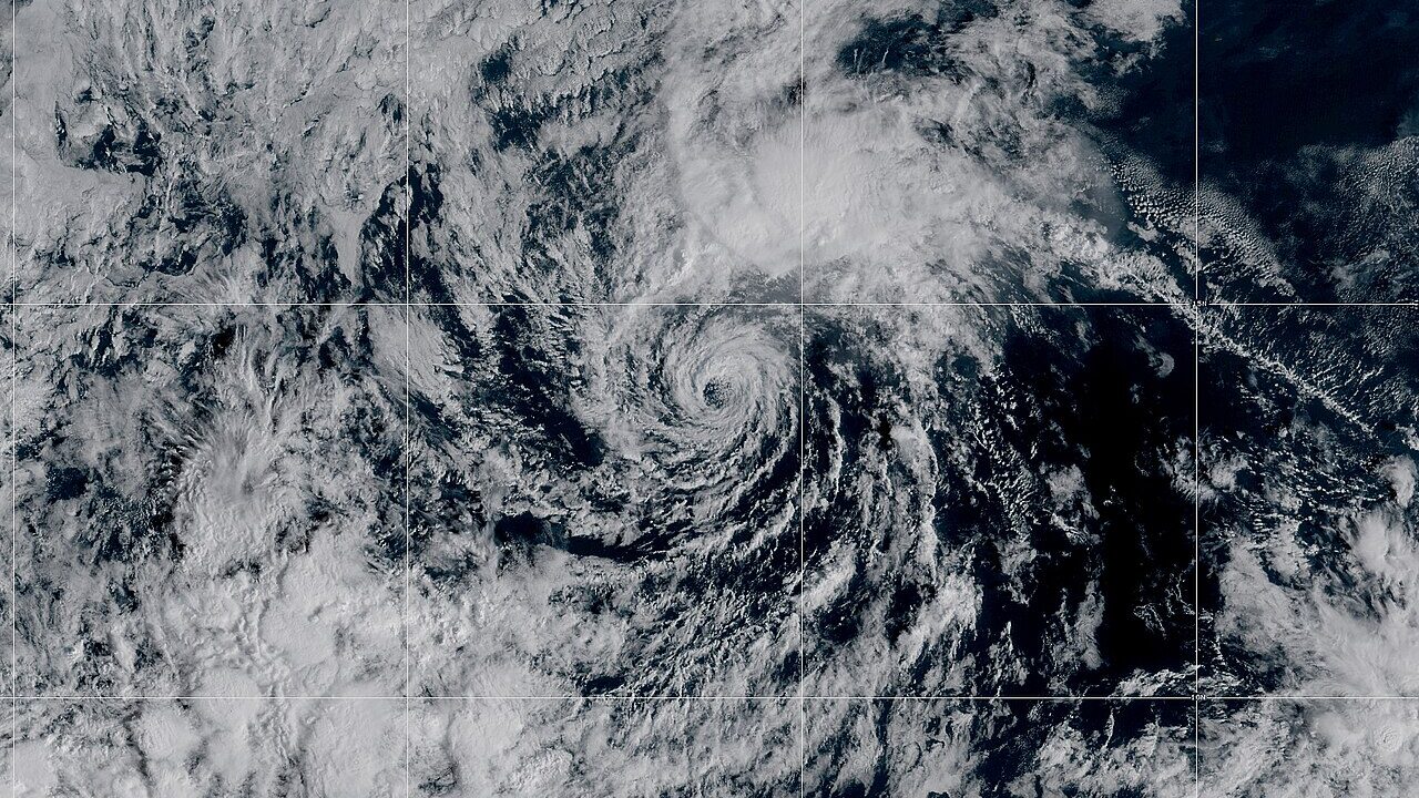
On October 9, 2026, the National Hurricane Center’s morning update tracked Hurricane Isaias on its approach — the briefing coastal residents set their clocks by, issued while the forecast still had room to change and decisions still had time to matter. Watch the official update below.
Video credit: NOAA/NWS National Hurricane Center via its official YouTube channel. Embedded only; no footage was downloaded or re-uploaded.
Morning updates in a hurricane’s life carry a particular weight: they are built on the overnight reconnaissance flights and the freshest satellite presentation, and they are the last calm-weather advisory many households will act on. As NewsWibe reported in its news columns, Isaias was strengthening toward a Category 2 landfall on the Gulf Coast — a category defined by winds of 96 to 110 miles per hour, but experienced by residents mainly as water: the storm surge that arrives with the tide, and the rainfall that keeps arriving after the winds have passed.
The centre’s forecasters spend these briefings trying to retire the cone from the public imagination. The cone marks where the storm’s centre has historically stayed; the damage routinely ignores it, spreading across surge zones, flood plains and the tornado-prone outer bands on both sides of the track. Watches and warnings, not the cone’s edge, are the actionable lines — and they are timed to the arrival of tropical-storm-force winds, the point after which travel becomes the hazard itself.
Afternoon will refine it
The advisory cycle turns every six hours, and each pass either narrows the landfall window or explains the models’ disagreement. Local emergency officials will convert the afternoon update into evacuation and closure calls. NewsWibe’s World & Politics Desk will carry those decisions as they are announced.
Residents deciding whether to leave should take their cue from local officials rather than the map: evacuation zones are drawn on surge, not on wind categories, and the zones matter long after the category is forgotten.